Quintanas de Gormaz
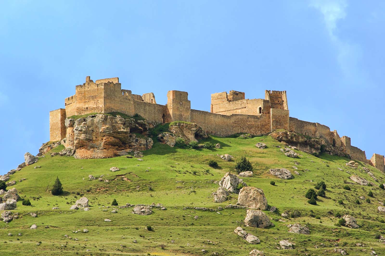
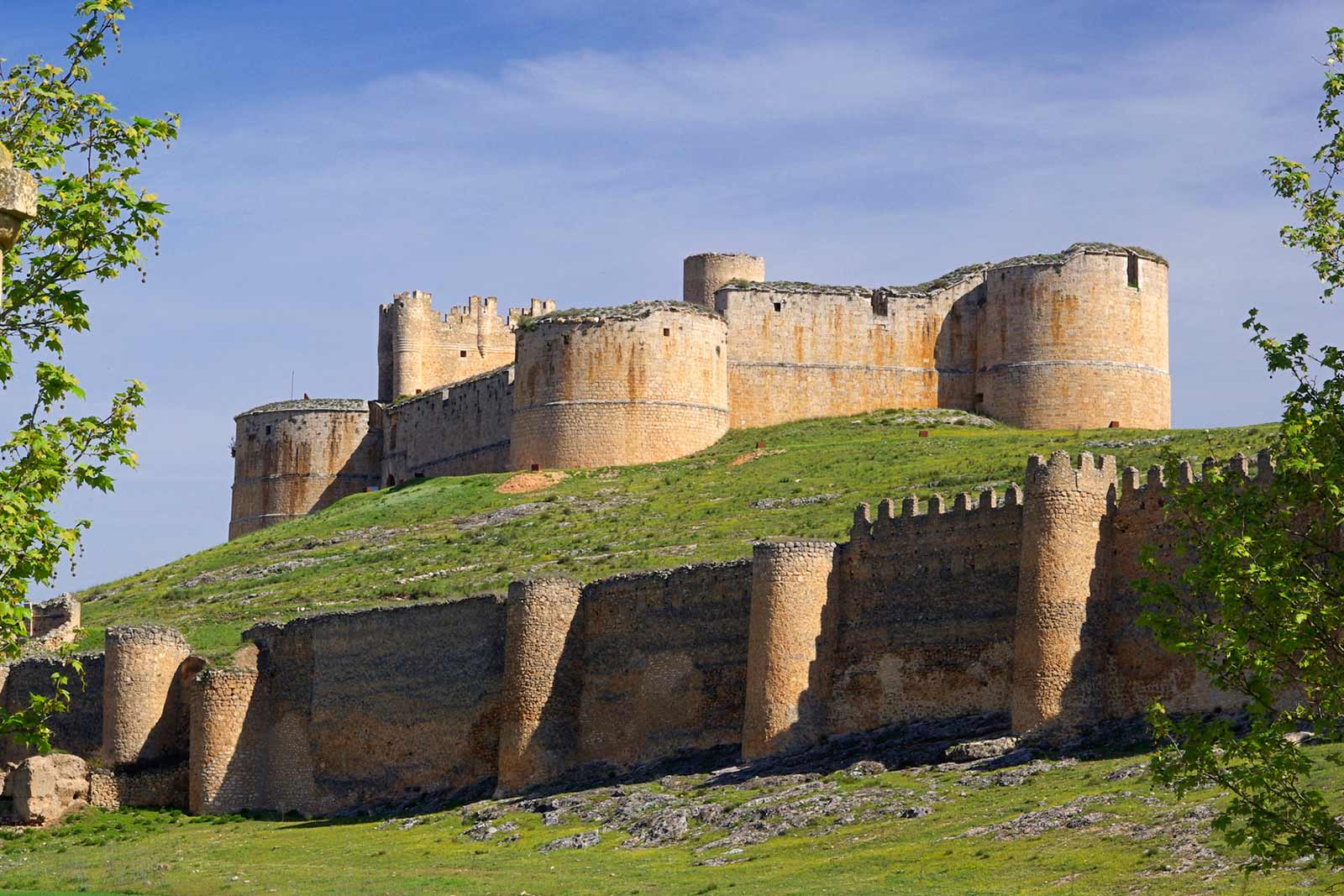
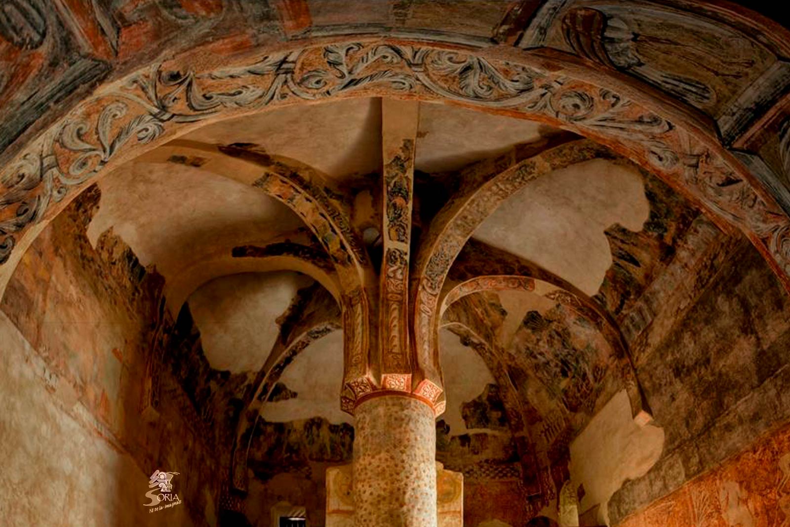
Neuralgic centre of the “Camino del Cid” (Cid’s Path) is the castle of Gormaz, caliph, from the X century, which has on its feet a hermitage of Saint Mike with medieval pictures of the same picturesque school of San Baudelio de Berlanga, where many tourists go after seeing the cellars of Recuerda and Morales, the arcade gallery of Aguilera and The Artistic Historic Complex of Berlanga de Duero where its castle, walls and gothic collegiate church highlight. Not far away, and to the North, there is Tajueco, traditional potter centre of the province of Soria. Likewise is tempting go close to Caracena to see its Romanesque churches and castle. And there are people who prefer to go to Retortillo de Soria, path of the archaeological site of Tiermes. Besides, 15 minutes by car, the traveller can be in front of the setting La Güera next to the bridge of the river Ucero with its path and its reservoir. A kilometre further away is the bridge and the medieval castle of Osma, and one kilometre further away s the Historic-Artistic Complex of Burgo de Osma with its impotent cathedral, where you can go to see, 15 km to the North, the Natural Park of River Lobos.
Discover the Route The walls of the Alto Duero
CYCLING ZONE
The route, of about 300 km, runs in its first half around the Duero River, mainly along its southern slope, to return through the Sierra de Pela, which traces the southern border of the province of Soria, with its neighbors Segovia and Guadalajara.
El Burgo de Osma
Comarca de la Ribera del Duero
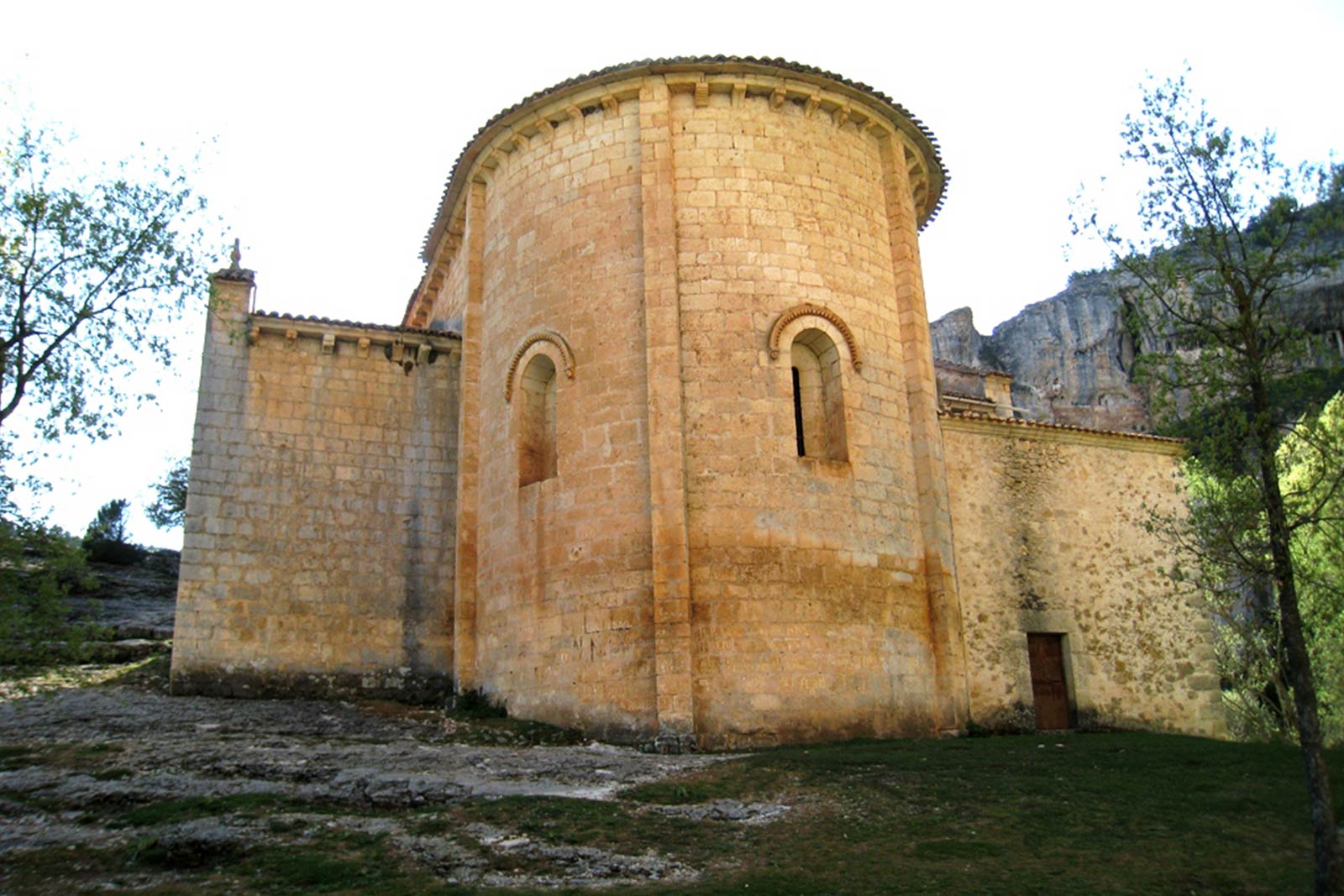
In the Ribera del Duero region there are villages with beautiful Romanesque churches. Without going further, 3 km. is the hermitage of San Miguel de Gormaz (BIC) at the foot of the Caliphate with Romanesque paintings attributed to the same workshop of San Baudelio de Berlanga.
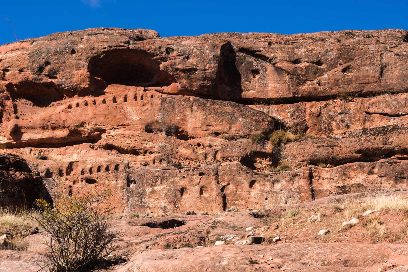
Not far away, and to the north is Tajueco, the traditional pottery center of the province of Soria. It is also tempting to approach Caracena to see its Romanesque churches and castle. And there are those who choose to go to Retortillo de Soria way to the archaeological site of Tiermes. In addition, a quarter of an hour by car the traveler can stand before the place of La Güera next to the bridge of the Ucero river with its walk and prey. One km. beyond there is the bridge and medieval castle of Osma, and one km. beyond the Historic Artistic Complex of Burgo de Osma with its imposing cathedral. In the town of Recuerda it is worth stopping to visit in the environs of the town, a large group of bodeguillas excavated in an argillaceous hill, with a winepress in ruins.
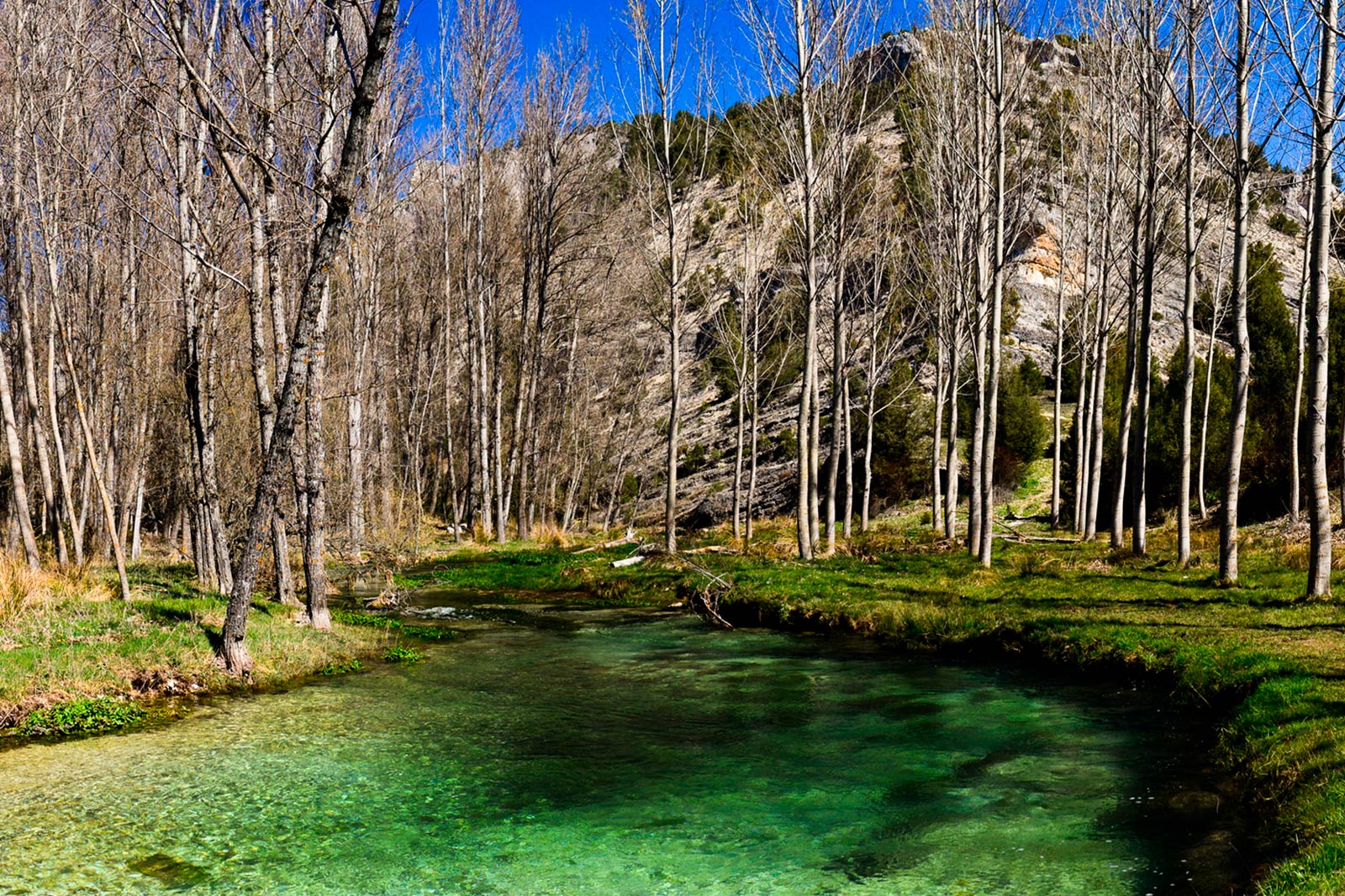
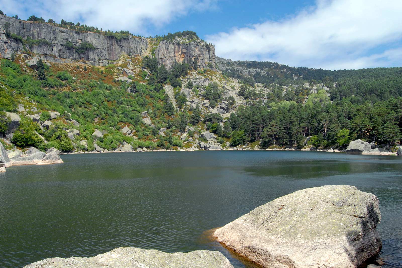
From our rural house you are in a privileged place for excursions to villages such as Berlanga de Duero, Caltojar, Ermita San Baudelio de Berlanga and Rello, Termancia, Caracena, Uxama, Numancia. As well as the natural sites: Canyon of the River Lobos, La Fuentona, Sabinar de Calatañazor, Natural Park of Sierra de Urbion, Laguna Negra, area of ​​pine forests and agricultural fields.
Qué visitar
Descubre el encanto paisajístico del Burgo de Osma y su alrededor
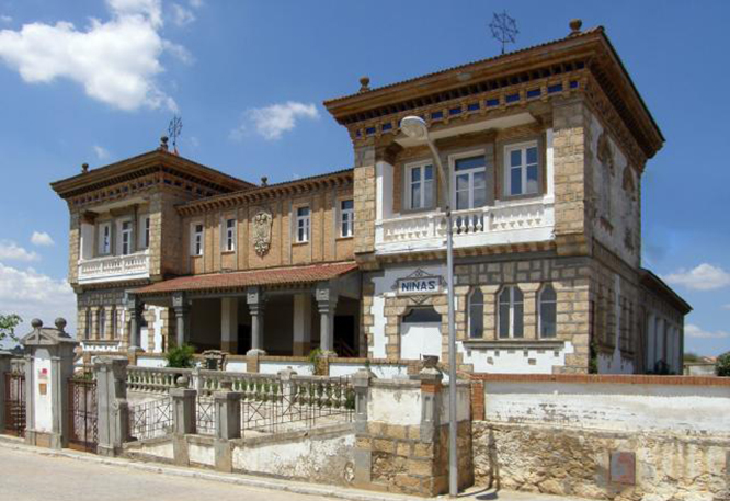
Escuelas
Museo de la Resina
| a 500 m |
El Museo se encuentra situado en las antiguas escuelas y vivienda de los maestros. Edificio el siglo XX años 20-30, destacan sus azulejos originales en la fachada, de una cromática extraordinaria. El museo hace una representación didáctica del oficio de resinero.
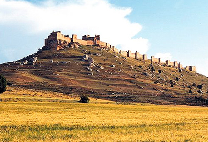
Castillo
de Gormaz
| a 3 km |
Monumento Nacional desde 1931. El castillo más grande de Europa. Califal, del siglo X, época de Almanzor. El Duero gira en torno al espolón rocoso que lo asienta. El Cid fue su alcaide y caído en desgracia, su esposa e hijas estuvieron allí prisioneras.
Catedral
del Burgo de Osma
| a 12 km |
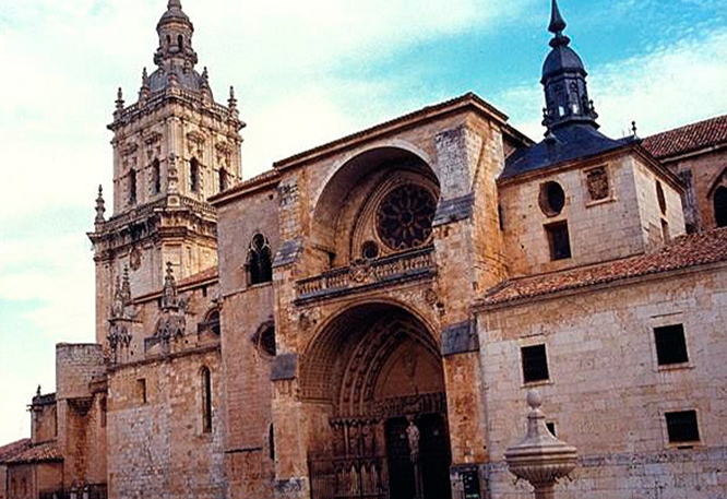
Catedral gótica con influencias cistercienses con torre barroca y añadidos neoclásicos en su monumental Capilla Palafox. Restos románicos interesantes. Construida a partir de 1231. Dos fachadas con múltiples figuras.
Y también...
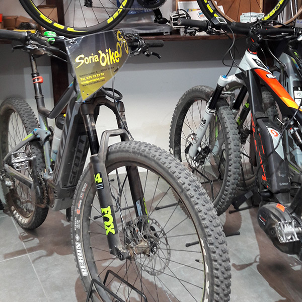
Durante la estancia en nuestra casa le facilitamos contactos para alquilar bicicletas de montaña y conocer mejor el entorno.
O si prefiere más información directamente en .SORIABIKE
Do you want to visit us?
CASA RURAL PATIÑO is a great option for couples interested in enjoying a place that invites you to discover its landscape, its rich cultural heritage and its gastronomy.
CASA RURAL PATIÑO is found in Calle El Oscuro 2, Quintanas de Gormaz (Soria).
GPS Location: Latitud: 41.50839 - Longitud: -2.97650.

 EN
EN  ES
ES 